
Ypsilanti Postal Coverage
Official Michigan mapping visibly associates two ZIPs with the Ypsilanti area: 48197 and 48198. They are postal service areas, not municipal lines. The state map is useful for broad orientation, but it expressly is not a legal boundary map. For a precise address, use the USPS address lookup and then the county parcel selector. That pairing matters because the parcel system separates City Of Ypsilanti from Ypsilanti Township while a mailing label can use Ypsilanti for either.
| ZIP | Delivery-area clue | Post office clue | Record-search note |
|---|---|---|---|
| 48197 | Ypsilanti city-centered label and surrounding service area | Ypsilanti Post Office, South Huron Street | Verify the address and municipality separately. |
| 48198 | Township-associated label reaching the Ypsilanti area | Ypsilanti TWP station, Ecorse Road | A Ypsilanti mailing city can still be in the township. |
The official USPS location results identify the city and township station clues behind the two labels. They do not say that every address in one delivery area is inside, or outside, the city.
The supplied capture of Ypsilanti-area USPS station results provides the postal reference used for the Ypsilanti ZIP code directory.
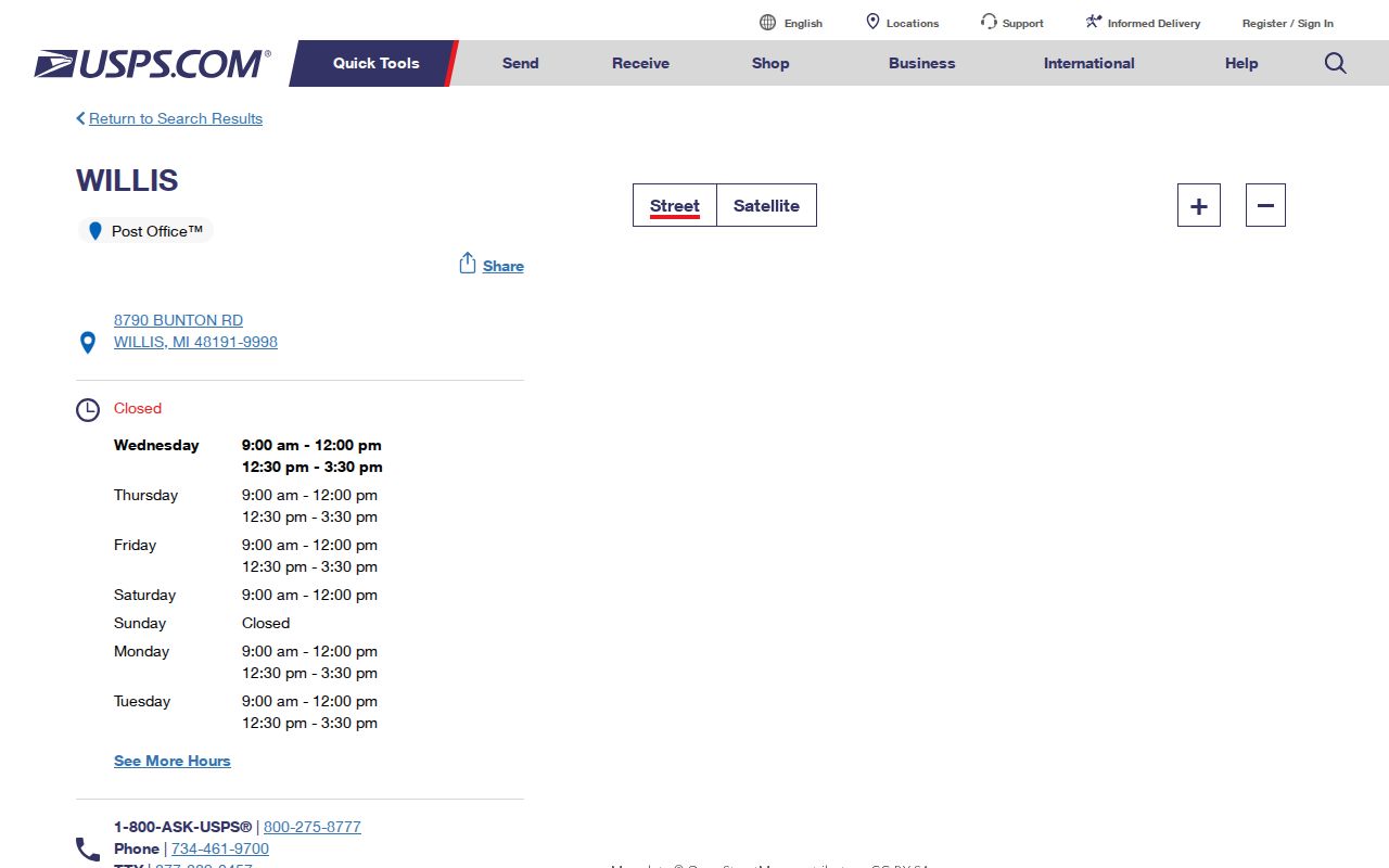
Keep the postal clue beside the full address, since a station name is only a starting point for a property or civic record.
Confirm Ypsilanti Postal ZIPs
The USPS address and ZIP lookup is the final check for the delivery ZIP attached to a particular street address. Enter the complete address rather than inferring a result from the city name or a broad map. This is especially important near the city and township distinction. A confirmed postal result helps route a search, but it does not identify a court, precinct, school district, or legal property jurisdiction.
The supplied view of the USPS ZIP lookup shows the official address-verification route used before comparing an Ypsilanti postal address with local records.
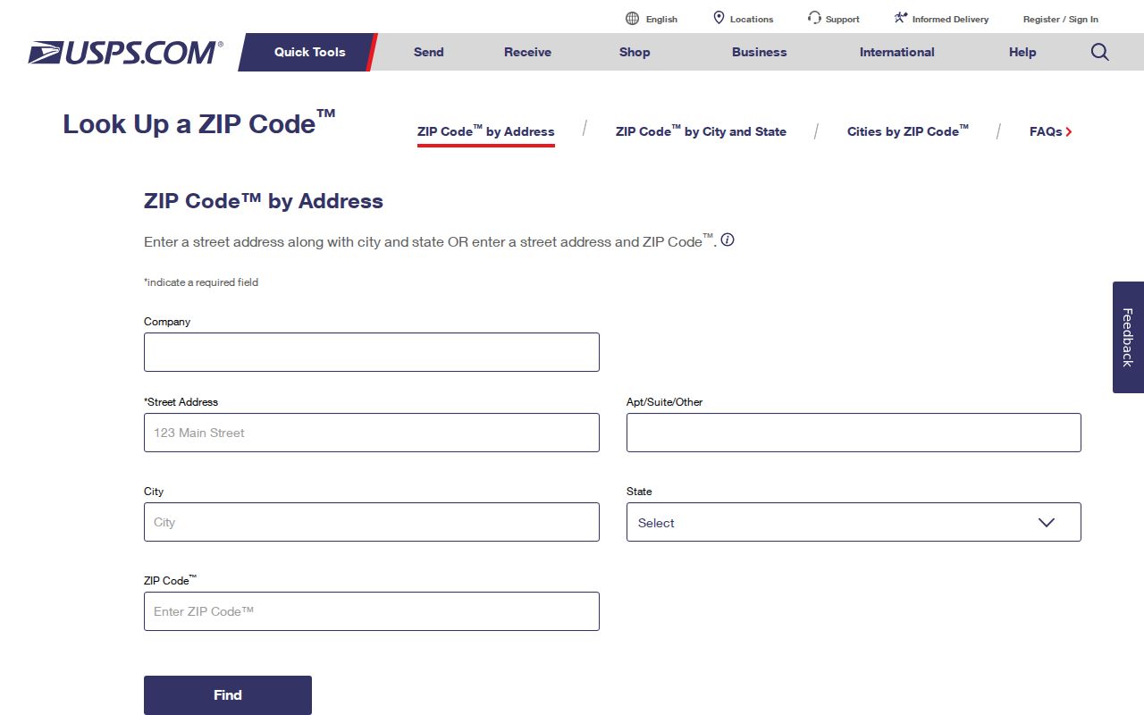
Use the confirmed address as the search text for a parcel or city record. Do not replace it with a station label or assume that all addresses with the same ZIP belong to one municipality.
Ypsilanti Parcel ZIP Fields
The Washtenaw County Parcel Lookup does not expose a ZIP filter in the inspected search form. It accepts street number and street name, a parcel number, a city selector, taxpayer name, and range fields. Use the city selector for City Of Ypsilanti when it is known. The official instruction is to enter Main rather than Main St, a useful detail when a street search fails.
| Property city/state/ZIP | The parcel report's situs, or property-location, postal field. |
|---|---|
| Taxpayer city/state/ZIP | The postal field for tax correspondence, which may differ from the situs. |
| City/village/township | The municipal selector and report field that distinguishes City Of Ypsilanti from Ypsilanti Township. |
| Parcel number | The parcel identity, entered in the county's 12-character spaced format when known. |
The supplied image of the City of Ypsilanti Assessor documents the municipal property route that points searchers toward current property information.
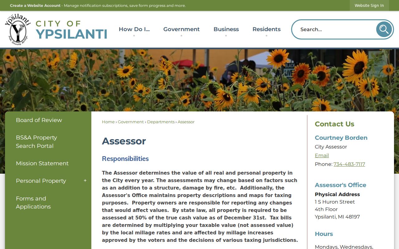
When the two postal fields differ, neither alone establishes a person's residence. Preserve both labels and use the record custodian that answers the actual question.
Finding Ypsilanti Residents by ZIP
A ZIP can narrow the place to investigate, but the local sources do not form a ZIP-wide resident roster. The county parcel search is address, parcel, city, taxpayer-name, and range based. MapWashtenaw offers spatial context and layers, while the Michigan Voter Information Center is an address-based registration tool, not a complete list by postal area. A QVF request can select a city or township, district, ward, or precinct, but the captured form does not list ZIP as a geographic selection.
- Confirm the complete street address and postal ZIP with USPS.
- Use the county parcel selector to choose City Of Ypsilanti or the relevant township, then search the address or parcel.
- Use MapWashtenaw to orient the parcel and nearby geography, treating map data as reference-only.
- For a lawful civic question, use the address-based MVIC route or request the appropriate city, township, district, ward, or precinct QVF geography.
- Record the postal label, municipality, parcel number, and source date separately.
Once the address is known, the Ypsilanti street directory has the fuller street-by-street record trail. A postal area is a useful first sort, not a replacement for that address-specific work.
Ypsilanti Postal and Parcel Clues
A USPS result, a parcel report, and a recorded land index answer different questions. USPS confirms the delivery address and postal ZIP. The county parcel report distinguishes a property ZIP from a taxpayer mailing ZIP and identifies the city, village, or township. The Register of Deeds index is a guide to recorded instruments and parties, not a delivery or municipal locator. Reading these results as interchangeable creates a false match.
The county's public deed index is free to consult, while the copy-request form lists $1 per page, $5 certification per document, and $12 for a name search. A requested image or certified copy has a different purpose from a postal result or current parcel snapshot. Save the parcel number, date, and document reference before asking the custodian for a copy.
Ypsilanti Voter File Geography
Michigan voter-registration records are public through FOIA, with important protected fields removed from public release. The Michigan Voter Information Center is an address-based route for a person's own registration check or a lawful civic question. It is not a complete downloadable list for a postal area. Its observed interface showed an address clear control and a Search by address control, but the full interactive field inventory was not consistently exposed during research.
For a defined geographic file or voting history, the official QVF request form asks the requester to choose a government geography, not a ZIP. The selection should match the civic question and the confirmed municipality.
| City or township | A QVF geographic choice suited to the City of Ypsilanti or Ypsilanti Township distinction. |
|---|---|
| County or district | Other form choices include an entire county and several legislative or commissioner districts. |
| Ward or precinct | A selection made through the jurisdiction and ward/precinct fields when more local civic geography is needed. |
| ZIP | Not listed as a geographic selection on the captured QVF form. |
The form also offers pick up, FTP, or mail delivery and allows a request for all voting history or selected elections. It does not state a fee in the captured material, so cost should be confirmed with the Michigan Bureau of Elections.
Ypsilanti Postal Limits
The central local mismatch is simple: a ZIP label can say Ypsilanti while the county municipality is Ypsilanti Township. The 48198 station clue is associated with the township, and both delivery labels can appear in Ypsilanti-area mailing addresses. The state ZIP map supplies general reference only. For a property search, the county municipality selector is more relevant than the postal city. For an individual address, USPS is the controlling delivery check.
- ZIP
- A postal delivery-area code, not a legal city boundary.
- ZIP+4
- An added delivery detail assigned to a more specific address or delivery segment.
- PO-box ZIP
- A postal code used for box delivery; no Ypsilanti-specific PO-box-only code was located in official research.
- Unique ZIP
- A code assigned to a single institution or organization; none was located for Ypsilanti in the official research.
- Carrier route
- A postal delivery grouping, not a municipality, parcel boundary, or resident list.
Note: A ZIP result can verify delivery geography, but city limits, precincts, property taxes, and court venue require their own custodial records.
48198 and Ypsilanti Township
The township station is a useful local warning against reading a mailing label too broadly. Washtenaw County's records access map distinguishes the City of Ypsilanti from Ypsilanti Township, and the court system has a similar split: 14A-2 serves the city while 14B separately serves the township. A postal result cannot choose the correct government office. Use the complete address and municipal result before moving to a city, township, or county record.
This is why an address with Ypsilanti in the mailing line should be checked twice, first for USPS delivery and again for municipality. It prevents a ZIP-based search from treating nearby township information as a city record or the reverse.
MapWashtenaw and Ypsilanti Delivery Areas
MapWashtenaw can help place a confirmed address beside parcel geometry, aerials, natural features, topography, and other public layers. The county says users can toggle labels, change colors, load data, run queries, and use GIS functions. It requires WebGL2, and its data are reference-only rather than a legal document. Use a deed, survey, or legal description when a boundary itself matters.
The supplied capture of the MapWashtenaw launch page shows the county GIS route for placing a Ypsilanti postal address in parcel context.
Map context can reveal nearby parcels and street relationships, but it does not resolve a postal line into proof of an occupant, a legal boundary, or a municipal record holder.
Older Ypsilanti Addresses Before ZIPs
Historic Ypsilanti directories used street names and numbers, not modern postal codes. To connect a directory entry to today's delivery area, first bridge the old street or block to a current parcel or legal description. Then confirm the modern address through USPS. The city has documented street-name changes, including the Mill Street variants, Arcadia becoming Arcade, Ainsworth Place becoming Middle Drive, and the discontinuation of old Michigan Street in 1916.
The street and legal-description bridge matters more than a broad postal map for historic work. A former city address can now carry a different delivery label, and a township place can still use Ypsilanti as its postal city.
Ypsilanti Postal Data Gaps
Official research did not locate a historical ZIP realignment date, ZIP-specific population table, ZIP-specific voter count, PO-box-only code, or unique institutional code for Ypsilanti. Those gaps should remain visible rather than being filled with a third-party estimate. If a later question requires a count, use the relevant official census or postal geography and identify the year and geography used.
The supplied capture of Ypsilanti open geographic data is a local starting point for geographic context, while the USPS and county parcel tools remain the address-specific checks.
For a precise result, keep the source date and the type of geography clear. Postal service area, municipal boundary, parcel field, precinct, and court jurisdiction answer different questions.