
Ypsilanti Neighbors by Block
Ypsilanti neighbors are best researched as adjacent parcels and shared civic geography. A county parcel report can identify the property address, taxpayer label, tax-mail field, legal description, and sale reference. Map layers show how parcels, alleys, parks, trails, and historic districts fit together. A dated directory or city record can add context. None of those records creates a reliable roster of current occupants, so each finding should keep the source’s own label.
| Block source | Useful Ypsilanti context | Access and boundary |
|---|---|---|
| MapWashtenaw | Adjacent parcel shapes, aerial context, natural features and public layers | Public reference viewer; not a survey or legal document |
| County Parcel Lookup | Parcel number, taxpayer, mailing, property and legal-description fields | Public web record; taxpayer is not an occupant label |
| Register of Deeds | Recorded parties, instrument date, type and reference | Public index is a finding aid; copy request is the fallback |
| City neighborhood list | Recognized association and civic geography | Association context, not a household roster |
| Directories and maps | Dated street listings and physical block history | Library and archive research; not a present-day list |
The key distinction is simple: a property address describes a parcel, a taxpayer name identifies the tax record, and a mailing address identifies where correspondence goes. Any of them can differ from the person living at the property. Preserve that difference in notes and avoid relabeling a taxpayer as a resident.
Ypsilanti Neighbors: Parcel-First Flow
Begin with the exact street address, select the correct municipality, and capture the returned parcel number before making any comparison. Parcel numbers are the stable join key between the county report, map viewer, and land-record search. This method keeps a block inquiry tied to an address and avoids assuming that a similar street name or ZIP label belongs to the same jurisdiction.
- Search the Washtenaw County Parcel Lookup by street number and name, then choose City Of Ypsilanti or the correct township option.
- Save the parcel number, property address, legal description, and any taxpayer or mailing fields exactly as labelled.
- Open the parcel area in MapWashtenaw and identify the immediately adjacent parcels, alleys, street connections, or public features.
- Use a deed reference only when a recorded-land question remains. Ask for a copy or legal description if the boundary matters.
The full named-street method is different from an immediate-block inquiry. The Ypsilanti street directory follows the broader address and deed chain.
MapWashtenaw and Ypsilanti Neighbors
MapWashtenaw provides current property data, aerial photography, natural features, topography, labels, and other layers. Use it to orient a block, compare a parcel outline with the county report, or see nearby parks, trails, sidewalks, and historic-district context. Turn labels on only when they help answer the geographic question.
The county’s warning is important. GIS is reference material and may contain spatial, registration, attribute, currency, completeness, projection, calculation, or representation errors. A colored outline is not a survey. If an apparent neighbor relationship would affect a meaningful decision, compare the legal description and current survey or request the supporting deed or plat.
Open Ypsilanti’s neighborhood-association directory to see the city’s civic context for an address.
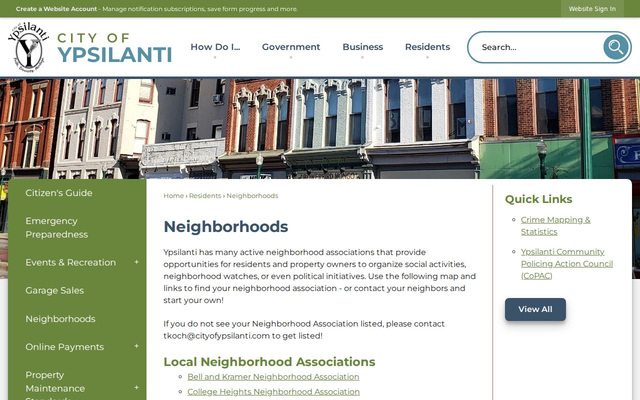
The city directory names neighborhood groups, but membership and parcel boundaries should not be inferred from the listing.
Note: MapWashtenaw is a reference tool, so resolve a boundary question with the legal description, recorded instrument, plat, or survey.
Ypsilanti Neighbors: City, Township, ZIP
A mailing city and a legal municipality can point in different directions. The 48197 and 48198 ZIP labels both reach the Ypsilanti area, while the county parcel selector distinguishes City Of Ypsilanti from Ypsilanti Township. Use the municipality selector and parcel number for the property question. Use USPS for the deliverable postal address. A ZIP is not proof of municipal, precinct, school, or court jurisdiction.
This comparison matters near a boundary. A block that looks continuous on a map can cross into another jurisdiction, and the 48198 label has a Ypsilanti Township post-office clue. Retain the street address, municipality, ZIP, and parcel number together rather than letting the postal label decide the records search.
Mapping Ypsilanti Neighbors by Parcel
The county parcel report has a useful field structure: property street number, name, direction, city/state/ZIP, taxpayer name, taxpayer mailing address, assessment information, legal description, and sales history. Sales history can include a Liber-Page, sale date, instrument, and price. Those details are clues for an address history, not evidence that a current taxpayer or mail recipient occupies the home.
Start every block note with the typed address, the municipality choice, and the parcel number. Then make one row for each returned adjacent parcel. Use separate columns headed property address, taxpayer, and mailing address. A trust, estate, company, family, or mailing agent can appear in those fields, and combining them into a generic resident column creates a false statement.
Review the Washtenaw County Register of Deeds information before treating a parcel sale clue as the full recorded chain.
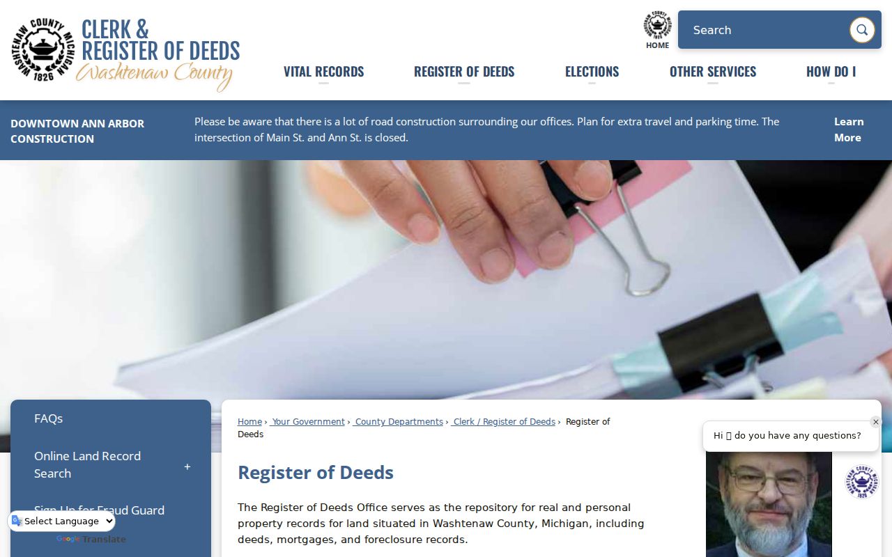
The recorder’s public index helps locate an instrument, while the deed or copy request remains the document-level check.
Ypsilanti Neighborhood Association Context
The city’s neighborhood page is useful for civic context around a block. It names Bell and Kramer, College Heights, Downtown Association of Ypsilanti, Historic Eastside, Historic Southside, Midtown, Normal Park, and Ypsi Riverside. These are community leads rather than sources for private household details. Contact an association through its published channel for public events or neighborhood history, not for a membership roster.
| Association context | What the research supports | Appropriate use |
|---|---|---|
| College Heights | Its site describes boundaries of Ainsley, Oakwood, Washtenaw Avenue, and North Hewitt, and estimates about 700 households. | Interpret neighborhood history and geography, not parcel membership. |
| Historic Eastside and Historic Southside | Named on the city’s official neighborhood list. | Use as civic-area context beside a parcel or map. |
| Bell and Kramer, Midtown, Normal Park, Ypsi Riverside, Downtown Association | Named on the city’s official neighborhood list. | Use the city list for public neighborhood contact context. |
Visit the College Heights neighborhood association for its own public description.

Its boundary description can help interpret a photo or historic reference, but it is not an official parcel boundary.
Note: A neighborhood name can give civic context without confirming that a parcel or household belongs to the association.
Ypsilanti Neighbors: Index, Copy, Parcel
The free deed index, a requested deed copy, and a county parcel report answer different questions. The parcel report preserves its field labels and source date, the recorder’s index points to a recorded instrument, and a document copy supplies the underlying instrument. Commercial neighbor tools do different work again: they can combine public records, brokered information, and public profiles into a report whose update timing and identity matching may be unclear. Use the official custodian when the source, date, or record type matters.
| Source type | Strength | Limit |
|---|---|---|
| Official parcel, map, or deed record | Shows the custodian, record purpose, and field labels | May be dated, incomplete, or unrelated to occupancy |
| Commercial neighbor tool | Can be a lead for a question to verify | May merge sources, retain stale data, or match the wrong person |
| Neighborhood association source | Supplies public civic and historical context | Does not prove household membership or a person’s address |
For a missing county-held record, use the department or the Washtenaw County records-access request route with an address, parcel number, date range, or department. The request process may produce a redaction or denial where an exemption applies.
See the Washtenaw County FOIA request portal for its county-held record intake.
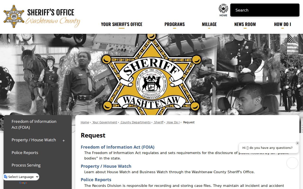
A focused request preserves the address and date context instead of inviting an overbroad search for private information.
The Washtenaw County records-access page is another county entry point for a narrower search or request.
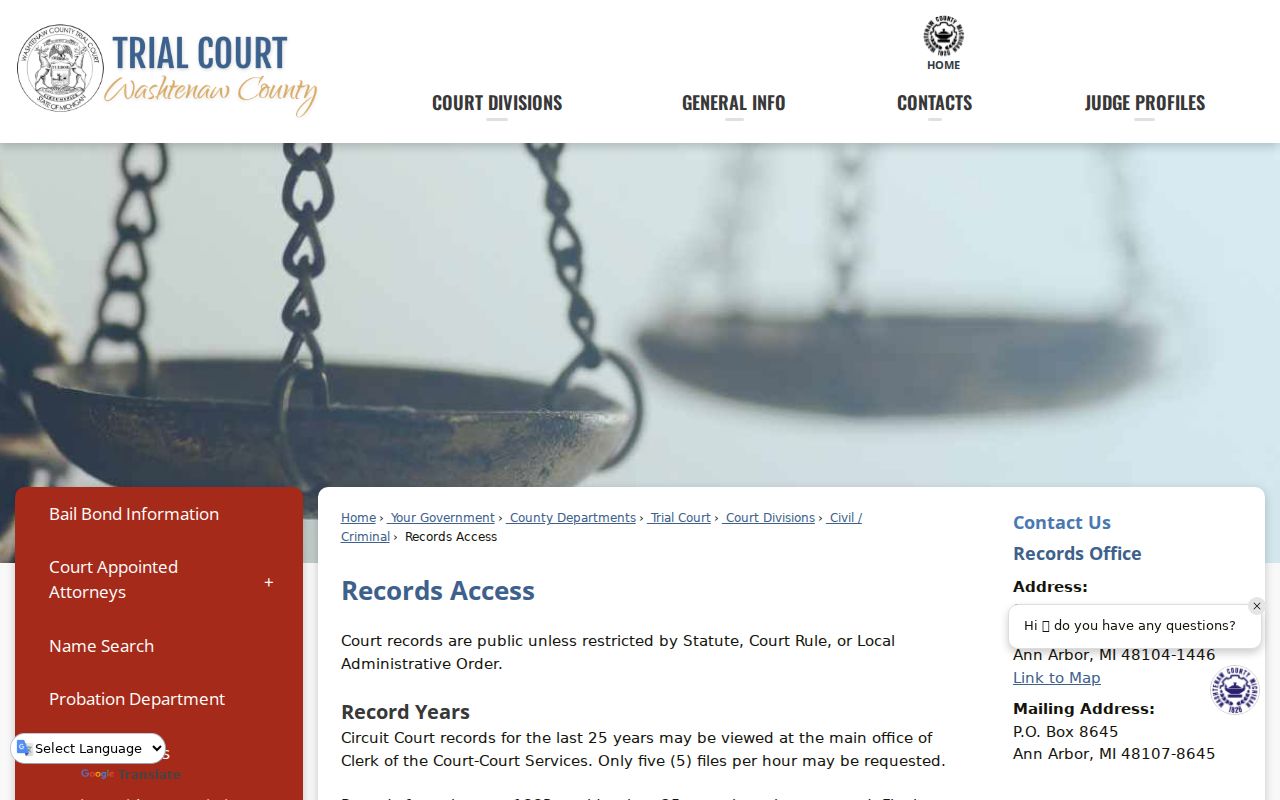
Use the department that holds the record, and retain its response as the source for any conclusion.
Historic Ypsilanti Blocks in Context
Historic block work should move from the current parcel to dated sources. Compare a directory street section, a Sanborn map, a newspaper notice, and a deed reference in that order of purpose. The city survey lists Ypsilanti Sanborn years including 1884, 1888, 1909, 1916, 1921, and 1924, while the Library of Congress catalogs a February 1927 Ypsilanti volume. A map can show a building’s outline, material, use, or corner context. It cannot identify every occupant.
Street names can also conceal a match. Local sources document three Mill Streets on an 1859 map that later associated with Forest, Maple, and Park. They also note Arcadia becoming Arcade, Ainsworth Place becoming Middle Drive, and the discontinuance of old Michigan Street in 1916. These are search variants, not a universal address-conversion formula. Compare a cross street, plat, and legal description before joining two references.
Note: A Sanborn sheet can establish physical context for a dated block, but it does not name every resident or settle a property line.
Ypsilanti Neighbor Permit Context
A permit can explain work at a property or the city department connected to it. The Ypsilanti Permit Center routes building, planning, public works, fire, code enforcement, and clerk matters. If a dated municipal record is needed, request it by project address, parcel number, permit type, department, and date range. A permit applicant, responsible contact, or project address does not prove that someone lives there.
Open the Ypsilanti Permit Center to identify the correct department and form category.
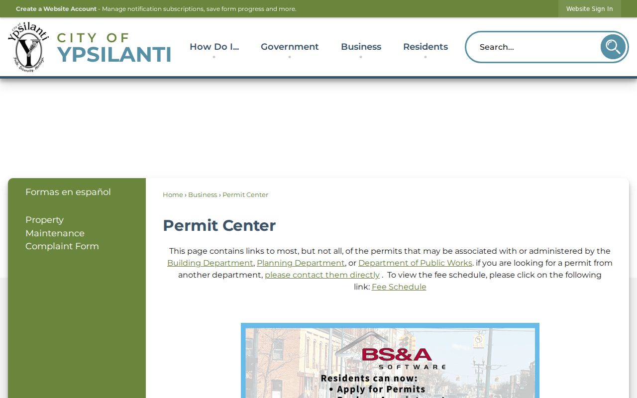
Department routing turns a vague block question into a focused public-record request.
Ypsilanti Neighbor Privacy Limits
Public access is not permission to build a private-household list. Michigan voter records exclude protected personal fields, courts restrict sealed and other protected matters, and vital records follow their own eligibility rules. Parcel fields can be public without identifying a current occupant. Use the least identifying detail needed for a lawful question, and do not copy full birth dates, phone numbers, email addresses, signatures, protected addresses, or other sensitive information into a block note.
Michigan’s Address Confidentiality Program provides a designated substitute address for eligible people at risk of harm. State and local government must accept it, and the confidential address is not subject to FOIA under the program provisions. Do not attempt to work backward from a substitute address. If a record seems wrong, seek correction from the custodian rather than spreading the error.
Privacy and lawful use. Use Ypsilanti neighbors research for block history, civic context, or another personal lawful purpose. Do not use it to watch, harass, threaten, expose, or intimidate any person.